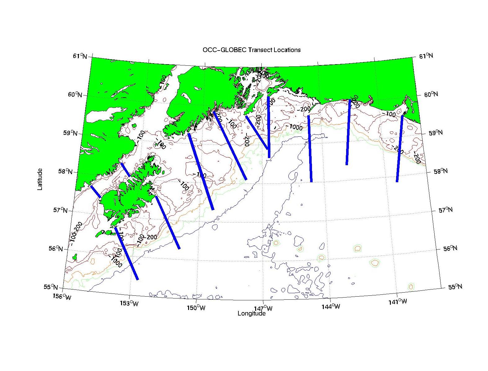
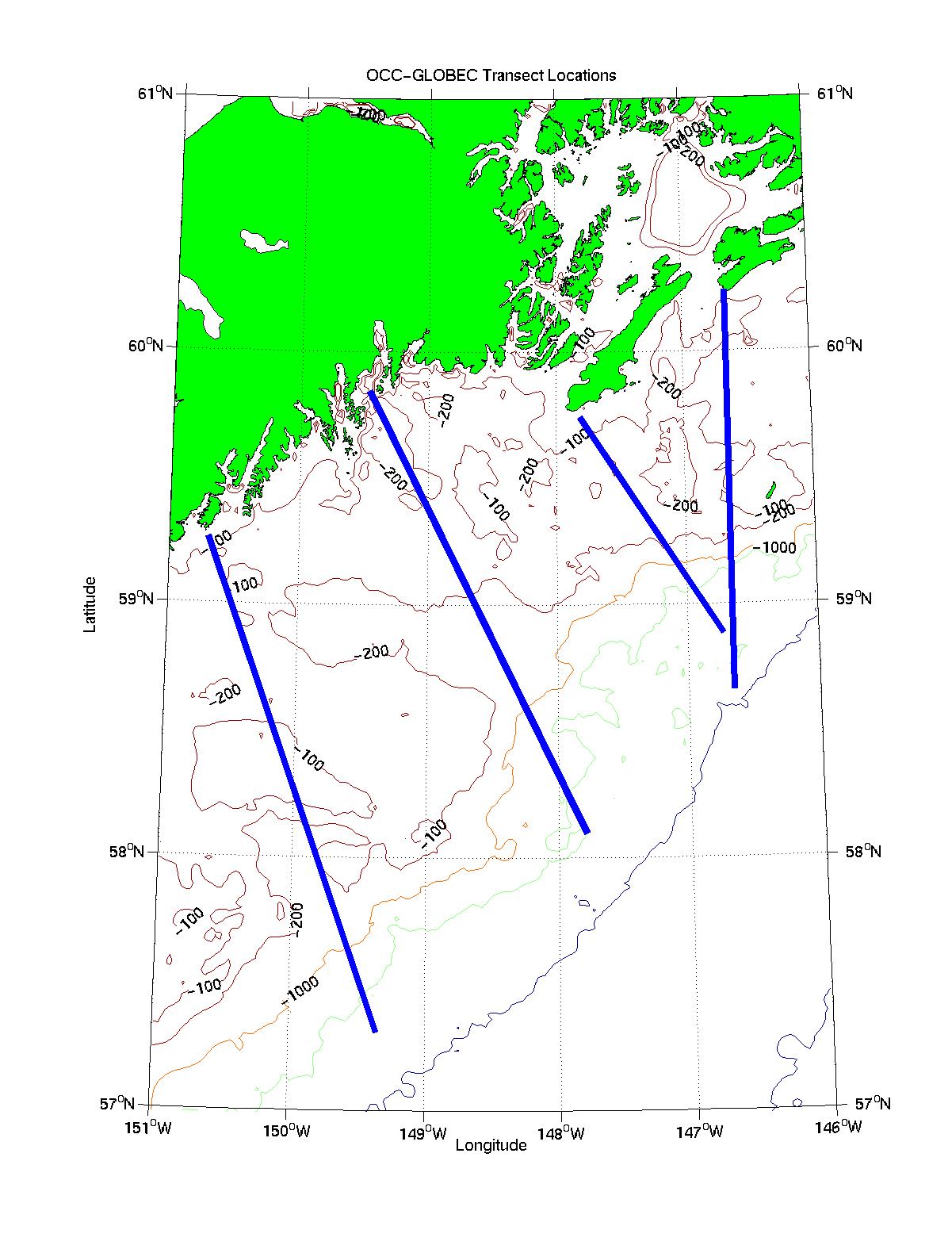
Ocean Carrying Capicity/GLOBEC Transect Lines
OCC/GLOBEC will charter a commercial fishing trawler for a cruise in the CGOA
during 16 July - 9 August 2001. Approximately 10 stations will
be done (average station spacing of 10 nautical miles) along each transect
line shown in the table and map below. EPS images of these two
large-scale
and small-scale maps are available. Observations
made at each station are:
- mid-water rope trawls for juvenile salmon
- Bongo tows for zooplankton (.333 and .505 mm mesh)
- neuston tows for surface plankton (possibly; still being discussed)
- CTD cast for physical properties.
Underway observations are:
- 300 kHz ADCP for ocean currents
- surface temperature, salinity and fluorescence.
| Inshore End | Offshore End
|
|---|
| Transect | lat | lon | lat | lon
|
|---|
| Ocean Cape | 59.540000 | -139.860000 | 57.850000 | -140.480000
|
|---|
| Icy Bay | 60.080000 | -142.460000 | 58.400000 | -142.850000
|
|---|
| Cape St. Elias | 59.730000 | -144.620000 | 58.010000 | -144.620000
|
|---|
| Cape Hinchinbrook | 60.240000 | -146.660000 | 58.660000 | -146.660000
|
|---|
| Cape Cleare SE | 59.741667 | -147.816667 | 58.883333 | -146.733333
|
|---|
| Seward | 59.845000 | -149.466667 | 58.098333 | -147.793333
|
|---|
| Gore Point | 59.260000 | -150.700000 | 57.310000 | -149.360000
|
|---|
| Cape Chiniak | 57.590000 | -152.120000 | 56.270000 | -150.870000
|
|---|
| Cape Kaguyak | 56.700000 | -153.930000 | 55.410000 | -152.680000
|
|---|
| Cape Nukshak | 58.050000 | -153.450000 | 58.370000 | -153.930000
|
|---|
| Cape Kekurnoi | 57.700000 | -155.280000 | 57.430000 | -154.770000
|
|---|
Page Maintained by Hal Batchelder
Last Updated: 2 April 2001